After our stay at Cheeseman Park we head towards the small village of Trout River - the location of an outlying campground in Gros Morne National Park. It's a rainy day when we set out but the weather improves to just fog by the time we reach the Bonne Bay area.
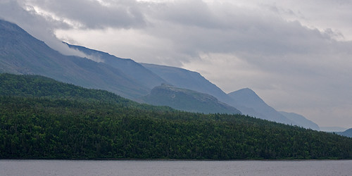
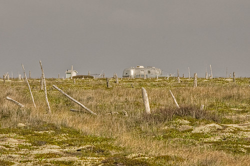
The next day the fog has cleared but skies remain overcast. This gives us our first view up the Trout River valley.
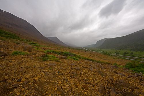
After packing up our gear we head towards Woody Point, driving through the serpentine barrens of the Tablelands. The red rocks here come from a slab of the earth's mantle which was thrust up on top of the underlying rocks when Africa collided with North America 470 million years ago.
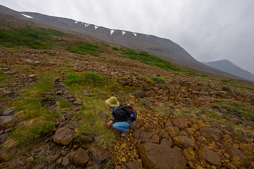
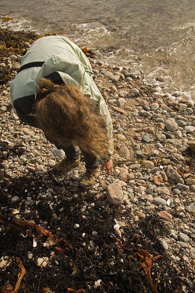
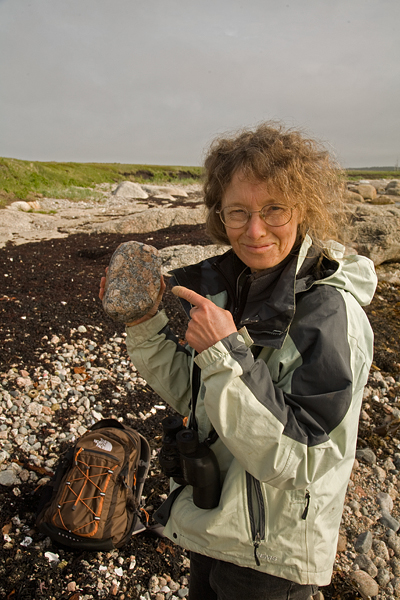
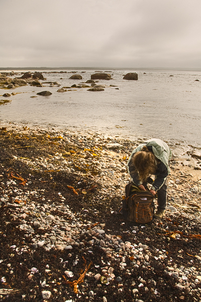
Because of the peculiar geology, the rocks lack calcium and other minerals that most plants require to grow. Hence, only a few hardy plants can survive in this area. Jude does her best to find and identify them during sporadic showers.
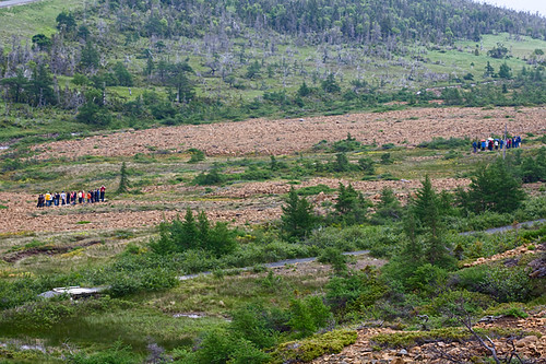
Because of the peculiar geology the area is popular with field trips. Here, two groups, one composed of senior citizens and the other of high-school students, listen to a park naturalist explain the history of the area during a lull between showers.
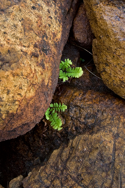
Jude's search turns up some interesting plants that you wouldn't expect to find in such a barren location, like this Maidenhair Fern...
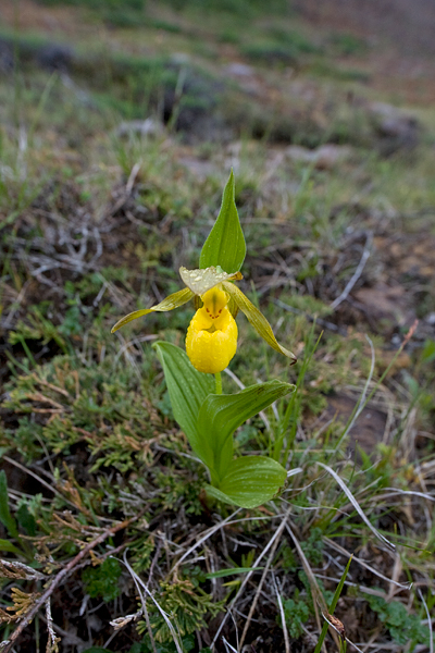
... or this Yellow Lady's Slipper.
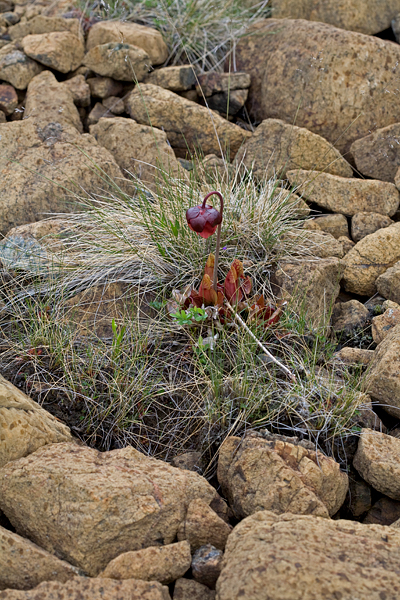
There are also plenty of Pitcher Plants which look odd perched among the rocks.
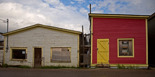
Eventually, the showers become less sporadic and more torrential. We head to Woody Point to have a late lunch and check email at the local library. The skies partially clear. While Jude takes some time to work on her postcards, I take a walk down Main Street.
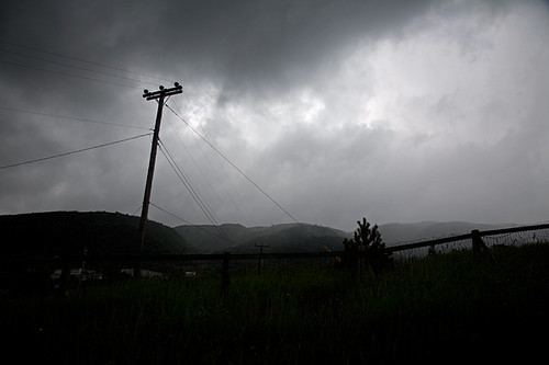
As I walk up the street towards the Woody Point Lighthouse, the skies again darken suddenly and a veil of rain appears over the mountains to the east of the town.
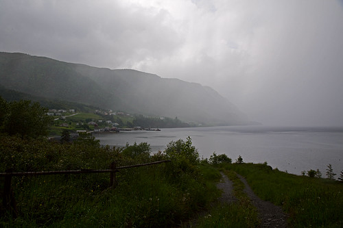
Looking down Bonne Bay, I try to figure out if this squall will pass by to the north or sweep down the bay to Woody Point.
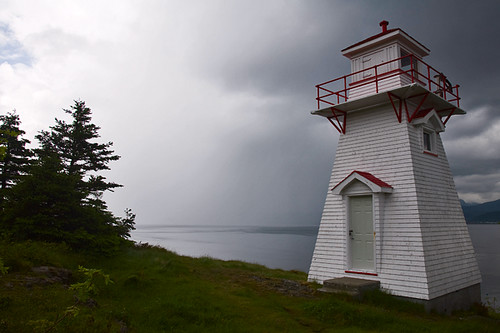
I reach the lighthouse moments before the rain hits. I can hear it coming, drumming on the rooftops of nearby buildings as I take this photo. When I return to the car - soaked - I pledge never to take a walk again on this trip without carrying my raincoat or an umbrella.
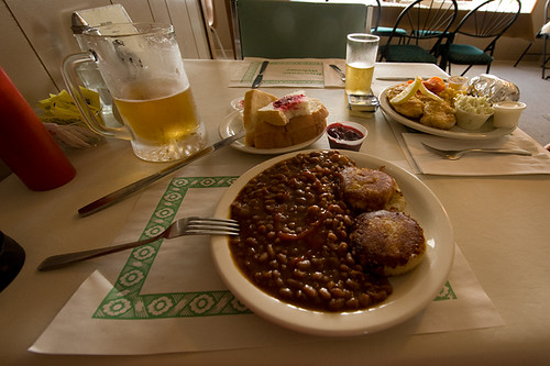
Because of the continuing rain, we decide to stay at a bed and breakfast for the night instead of camping. In our room we spread out the tent and other gear to dry and walk the short way to downtown Woody Point for supper (with an umbrella). I order baked beans and crab cakes, Jude has pan fried cod and a baked potato.
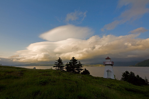
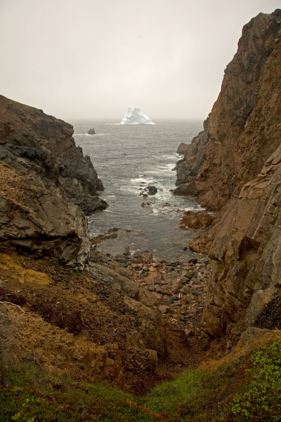
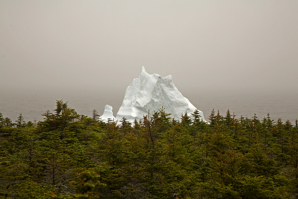
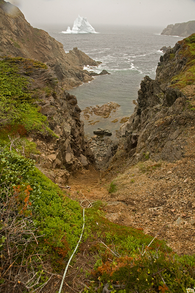
After supper the skies finally clear though the weather looks unsettled over Gros Morne to the north.
 To see them, one simply has to walk out on a remote headland...
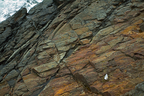 ...and look down.
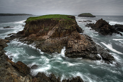 If there's an island off the tip of the headland...
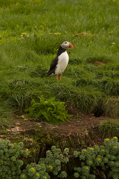
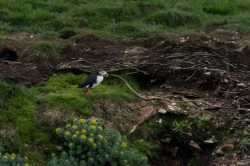 Puffins build their nests in burrows...
 ...and often disappear into them when they see a photographer arrive.
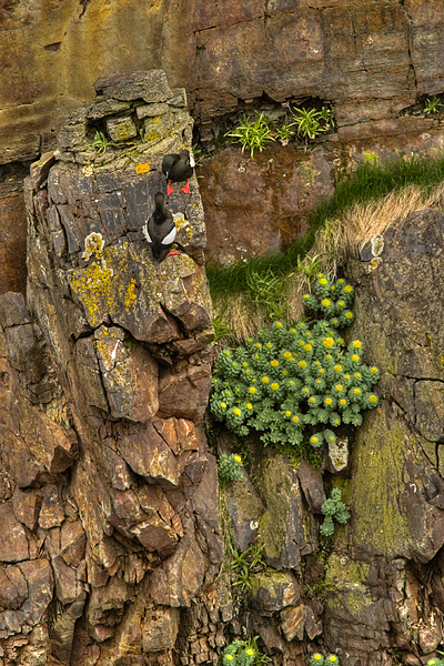
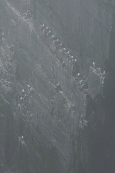
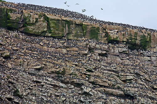 Nesting in large colonies also helps.
 A large colony on an island with steep cliffs - perfect!.
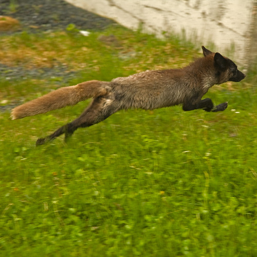
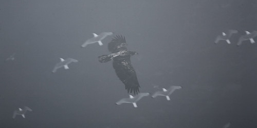 Of course, these strategies offer only partial protection from avian predators, like this immature bald eagle.